
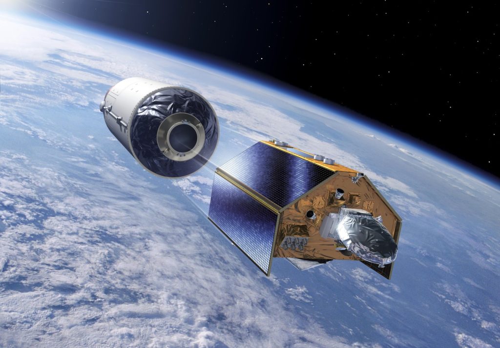
Preparations are under way in California for the launch of Sentinel-6B, the latest satellite in Europe’s Copernicus Earth-observation programme, which carries a UK-built propulsion system.
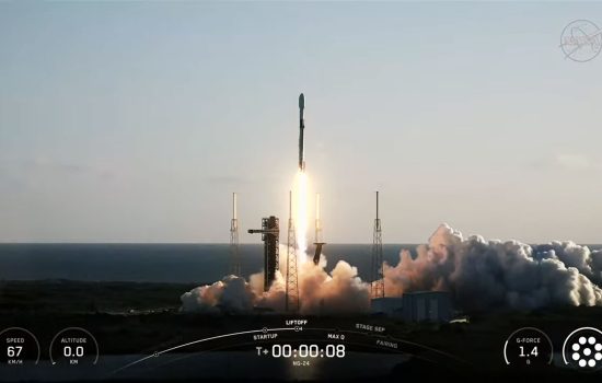
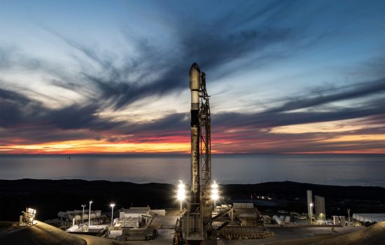
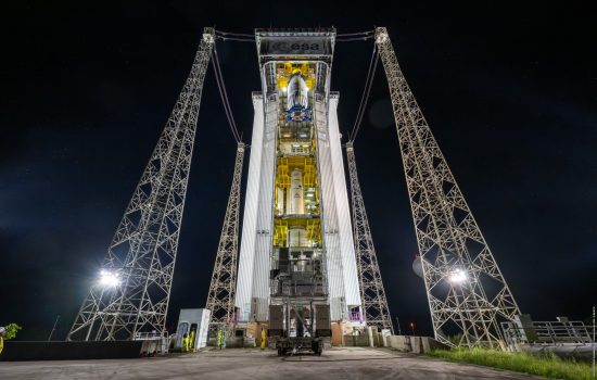
Set for lift-off on 17 November 2025 aboard a SpaceX Falcon 9 from Vandenberg Space Force Base, the satellite will extend a 30-year global record of sea-level measurements, providing crucial data for climate policy and coastal resilience.
UK Space Minister Liz Lloyd said the mission will support efforts to protect British coastal towns, ports and maritime industries from the impacts of rising seas. “This mission shows how UK space expertise delivered through ESA and Copernicus activities delivers down-to-earth benefits that matter to people every day,” she said.
Built through a long-standing partnership involving the European Commission, ESA, EUMETSAT, NASA and NOAA, Sentinel-6B will work alongside its predecessor, Sentinel-6 Michael Freilich, during its first year in orbit to ensure continuity and the highest accuracy of sea-surface height records.
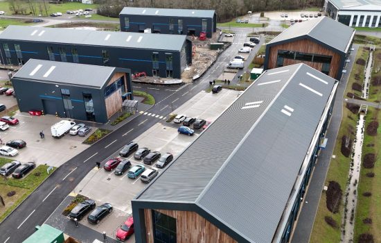
Airbus Defence and Space UK, based in Stevenage, supplied and tested the satellite’s hydrazine propulsion system, which will keep the 1.3-tonne spacecraft in its precise orbit. Additional UK expertise from the University of Reading and other institutions also contributed to the mission.
Beth Greenaway, Head of Earth Observation at the UK Space Agency, said the satellite’s data will strengthen scientific understanding of accelerating sea-level rise, offering “robust, trusted information” to governments and communities. The launch coincides with global climate talks at COP30 in Brazil.
The Met Office said the insights delivered by Sentinel-6B will be vital for the UK, where major cities, infrastructure and industries are concentrated along coastlines. Monitoring changes in sea level and storminess is “critical to helping sustain coastal communities and environments,” said Andrew Saulter, the Met Office’s Scientific Strategic Head for Ocean Forecasting.
Part of the Copernicus Sentinel fleet, Sentinel-6B uses advanced radar altimetry and microwave radiometry to measure sea-surface height, wave conditions and global wind speeds. Its data will inform weather forecasting, disaster preparedness and climate adaptation efforts, increasingly important as sea levels rise faster than expected.
The UK Space Agency continues to support the nation’s involvement in Copernicus and promote the use of its data across government, academia and industry to bolster environmental management, civil security and climate resilience.
For more articles like this, visit our Innovation channel